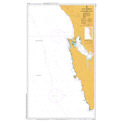
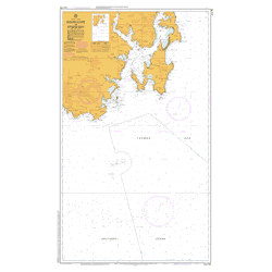
AUS 168 Chart – TAS – River Tamar – Long Reach to Launceston
$29.26
$48.57
Description Aus 168 Chart AUS 168 Nautical Chart has been retired and is no longer produced by Australian Hydrographic. There is no replacement or alternative for this chart. This link remains here for posterity. Chart Number Aus168 Title Australia – Tasmania – River Tamar – Long Reach to Launceston Geog Location Australia North Lat 41 08.00 S South Lat 41 21.98 S East Long 147 04.97 E West Long 146 53.30 E Scale 1:25,000 Projection UTM Edition Date 04-Oct-2002